
All articles
-
Policy & Regulation
FCC Strips Approvals From Alleged DJI Front Company Odyssey Robot
The FCC issued its first-ever national-security revocation of drone equipment authorizations on August 11, pulling Odyssey Robot's approvals after its claimed Texas assembler denied any connection to the company.
-
Counter-UAS
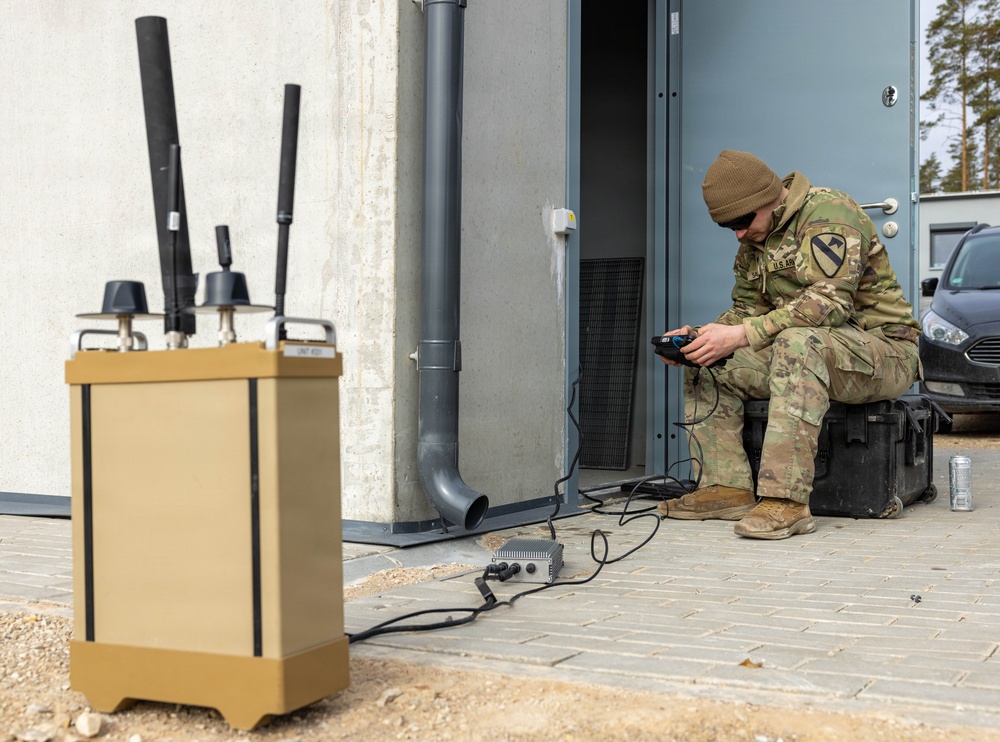
Inside Baltic Trust: NATO Runs Drone-Swarm and Kill-Chain Drills in Latvia
NATO's BATT26 exercise is putting roughly 650 troops and technical specialists from allied and partner nations through two weeks of live UAS and counter-UAS drills at Latvia's Sēlija range.
-
Defense & Combat
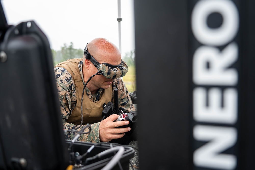
Neros Triples to $2.5B Valuation on FPV Attack-Drone Demand
Neros raised $250M at a $2.5B valuation as it races to scale Archer FPV attack-drone production toward 1 million units a year, backed by a $500M Army IDIQ.
-
Tech & Builds
DARPA's Lift Challenge Crowns a Helicopter-Style Winner at 3.84:1 Payload Ratio
AVIDrone's conventional-rotor Katana beat out more exotic VTOL designs to win DARPA's $6.5M Lift Challenge, hauling 112.4 lbs on a 29.3-lb airframe — just shy of the 4:1 target DARPA set for the field.
-
Industry & Contracts
Neros Triples to $2.5B Valuation in $250M Series C, Adds Bandit Interceptor to Product Line
Los Angeles drone maker Neros raised a $250 million Series C at a $2.5 billion valuation on August 11, 2026, funding a new Bandit counter-UAS interceptor alongside its Archer AI strike drone as it chases 1 million units/year of production by 2028.
-
Defense & Combat
Ukraine's Deepest Drone Strike Yet Hits Tatarstan's TANECO Refinery
A long-range Ukrainian drone strike on the TANECO refinery in Tatarstan — nearly 800km from Moscow — killed at least 13 people and extended Kyiv's campaign against Russian fuel production into the country's deep interior.
-
Commercial & Delivery
USDA Flies Over 1,000 Drone Missions in Texas to Track New World Screwworm
Since June 3, 2026, USDA's APHIS has flown more than 1,000 drone surveillance missions over Texas ranchland, observing 20,000+ animals in a biosecurity response that has pulled in DHS border-surveillance drone assets and personnel.
-
Tech & Builds
DARPA's Lift Challenge Falls Just Short of 4x Payload Goal as Avidrone's Katana Tops the Field
Avidrone's single-rotor Katana won DARPA's Lift Challenge with a 3.84:1 payload-to-weight ratio, narrowly missing the agency's 4x target as dozens of teams competed for a $6.5 million prize pool at the Air Force Museum in Dayton.
-
Policy & Regulation
FCC's Expanded Drone 'Covered List' Threatens to Pull DJI Enterprise and Delivery Models From the Market
A pending FCC decision expected the first week of September could bar sale and import of DJI's LiDAR, thermal, agricultural and FlyCart delivery drones under a "military-grade" Covered List expansion DJI says is written far too broadly.
-
Counter-UAS
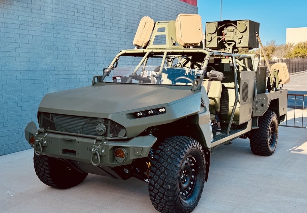
Marine Corps Pays Epirus $11M to Push HAVOC Microwave Counter-Drone System Toward Production
The Navy's Office of Naval Research awarded Epirus $11 million on August 10, 2026 to mature its vehicle-mounted HAVOC high-power microwave weapon for Marine Corps air-defense units racing to counter swarming drones.
-
Industry & Contracts
First Production Laser: AeroVironment's $400M Locust Deal Moves Directed Energy From Prototype to Product Line
Bloomberg reports the Army will buy at least $400M of AeroVironment's Locust counter-drone lasers — the Pentagon's first production contract for a directed-energy system beyond the prototype phase — sending AVAV up ~8-9% and turning the E-HEL program of record from negotiation into recurring revenue.
-
Policy & Regulation
DJI Points Its Customers at the FCC: The Comment War Over Banning Already-Approved Drones Opens in Earnest
DJI is rallying its US customer base against FCC proposal DA 26-758, which would bar importing and marketing already-authorized drones in seven "military-grade" categories — from thermal imagers to docking stations — ahead of a September 2 comment deadline.


Page 24 of 58