
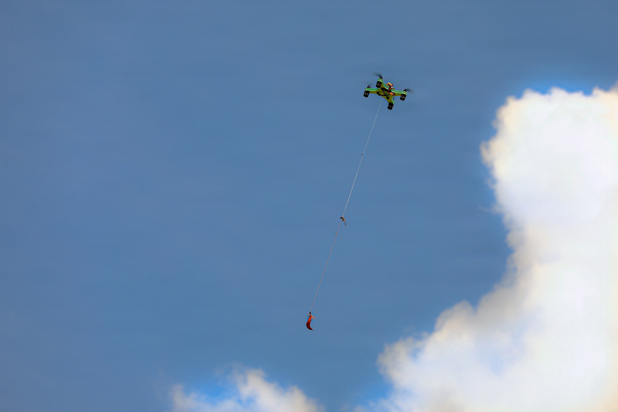
Dronetag and Airwise Solutions announced an integration on September 1, 2026, that pipes Remote ID detections from Dronetag's Scout and RIDER receivers directly into Airwise's Nexus common operating picture, giving airspace managers a single fused view that combines drone identification data with radar, RF detection, telemetry and weather feeds.
The integration is narrow in scope but consequential in what it signals: two companies that occupy adjacent layers of the low-altitude airspace stack — Dronetag on detection and identification, Airwise on fusion and situational awareness — have wired their systems together rather than leaving operators to stitch the data together themselves.
What the Integration Actually Does
According to sUAS News, detections captured by Dronetag's Scout and RIDER receivers now populate Airwise's Nexus platform with several specific data points: aircraft location, pilot position, drone model, and serial number. That is the core set of fields broadcast under the FAA's Remote ID rule, and the integration effectively routes it from Dronetag's detection hardware straight into Airwise's operating picture rather than requiring a separate viewer or export step.
Setup is handled on the account side rather than through custom engineering work. sUAS News reports the integration is enabled via Dronetag app account settings, accessible from either the Dronetag or Airwise platform — a configuration step rather than a bespoke deployment, at least as described by the companies.
Once linked, the Remote ID feed sits alongside the other sensor inputs Nexus already ingests. That is the more significant part of the story: Remote ID data is useful on its own, but it becomes more useful when it is displayed next to radar returns, RF detections, and weather data on the same screen, letting an operator correlate a broadcast identification with what other sensors are independently reporting in the same airspace.
The Platform It Plugs Into
Airwise launched Nexus in August 2026 as what the company describes as an open integration platform for airspace data, according to Commercial UAV News' coverage of the launch. The pitch is sensor-agnostic fusion: rather than building a closed system tied to one detection technology, Nexus is designed to pull in radar, RF detection, Remote ID broadcasts, and drone telemetry from multiple vendors and present it as one common operating picture.
Airwise named Unmanned Vehicle Technologies (UVT), a public safety drone and robotics integrator, as a launch collaborator when Nexus debuted, so Dronetag is not the platform's first named partner — but the tie-up does follow the pattern Airwise laid out at launch: rather than building its own Remote ID receiver hardware, Airwise is absorbing feeds from an established vendor in that space.
The Regulatory Backbone: Remote ID
None of this data exists without the FAA's Remote ID rule. As described on the FAA's official Remote ID program page, the broadcast requirement — often described as a "digital license plate" for drones — has been mandatory since March 16, 2024. Under the rule, most drones must broadcast identification and location information that can be received by standard equipment, which is precisely the signal Dronetag's Scout and RIDER hardware is built to detect.
That mandate is what makes an integration like this possible in the first place: Dronetag's receivers are not decoding anything exotic, they are picking up a broadcast that operators are already legally required to transmit. The integration's value lies not in new data collection but in aggregation — taking a federally mandated broadcast and routing it into a platform built to sit alongside other airspace sensors.
Why It Matters
Low-altitude airspace awareness has a structural problem: the sensors that can see a drone — radar, RF detection, Remote ID receivers, weather feeds — are often built and sold by different companies, each with its own display and its own partial view of what's happening overhead. An operator running Beyond Visual Line of Sight (BVLOS) missions, or managing airspace around a facility, has historically needed to watch multiple screens or build custom integration work to get a complete picture.
Fusing Remote ID identification data — aircraft location, pilot position, drone model, and serial number — into a platform that already carries radar and RF detection narrows that gap. It doesn't just show that something is in the air; it can show what it is and who is flying it, correlated against independent sensor confirmation. Dronetag and Airwise both frame this as support for "more complex missions," and BVLOS operations are the clearest beneficiary: those flights depend on some substitute for a pilot's own eyes, and a common operating picture that merges identification with detection is one of the more direct substitutes regulators and operators have been building toward.
The integration is also a data point on how the UAS traffic management ecosystem is consolidating — not through single vendors building everything themselves, but through point-to-point integrations between specialists. Whether Nexus becomes a genuine hub for multiple detection vendors, as Airwise's "open" framing suggests, or whether this remains a two-company pairing, will depend on whether other Remote ID and sensor vendors follow Dronetag's lead in connecting to it.
Sources
- Dronetag and AirWise Solutions Integrate to Bring Remote ID Identification and Detection into the Airwise Nexus Common Operating Picture — sUAS News
- One Airspace View: Dronetag Remote ID Data Joins Airwise Nexus — DRONELIFE
- Airwise Launches Nexus, an Open Integration Platform for Airspace Data — Commercial UAV News
- Remote Identification of Drones — Federal Aviation Administration