
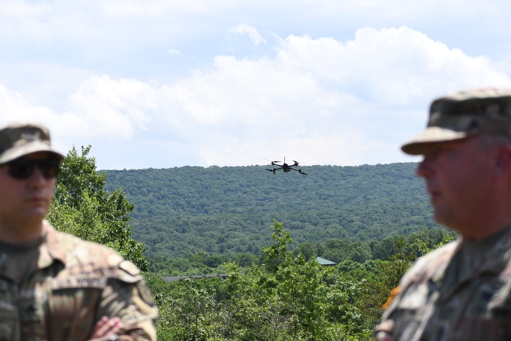
For most of the small-drone era, the arithmetic of a reconnaissance team has been simple: one pilot, one aircraft. Skydio says its newest software breaks that ratio. The company launched ISR Command on Oct. 13, a product that lets one operator fly two X10D aircraft from one controller. Skydio also says it lets the X10D pass target locations to platforms ranging from one-way attack drones to F-16s, according to DroneXL.
In the same week, L3Harris and Skydio said they had integrated L3Harris radio hardware and a jam-resistant waveform into the X10D. The Army also announced a new round of software awards for the command-and-control network that ISR Command is meant to feed. Taken together, the three announcements suggest a direction for small drones: sensors connected to a larger targeting network, not standalone cameras.
Nearly every performance claim below comes from the companies. The sources reviewed for this article report no independent Army test results for any of them.
What ISR Command actually is
ISR Command is software and workflow, not a new airframe. It runs on Skydio's existing X10D, which DroneXL reports weighs 4.72 lb (2.14 kg) and launches in under 40 seconds. When GNSS signals are jammed or spoofed, the drone can navigate using its onboard cameras instead of satellite positioning.
The headline feature is control. One operator flies two aircraft from one controller. Skydio CEO Adam Bry wrote that the product "breaks the 1:1 pilot:drone ratio to enable scalable 1:many operations," DroneXL reported, though Skydio's own launch post puts the number at two aircraft per operator. As of Oct. 14, neither the launch post nor the product page listed a price.
The second feature matters more to a targeting cell. An operator puts a crosshair on something in the drone's video, and, per Skydio's product page, ISR Command provides terrain-corrected coordinates for that point out to 3.1 miles (5 km). The system embeds the target location in live video using MISB standards: ST 0601, within the STANAG 4609 framework, for static targets, and ST 0903 for moving targets. Skydio says that makes the 4.72-lb X10D the smallest UAS on the market capable of delivering precise target locations to strike platforms. Once a target is confirmed, the operator passes the grid and the camera stays on the target for battle damage assessment. DroneXL's headline names the F-16 as one recipient Skydio has in mind.
ISR Command also shares its tracks with the Army's Next Generation Command and Control system, NGC2, according to Skydio. Army testing will show how much of that pitch the software delivers.
The radio layer: Falcon IV and Wraith
A drone that sends target data is only as useful as its link. L3Harris and Skydio have integrated L3Harris Falcon IV embeddable radios and the company's Wraith waveform into the X10D, Interesting Engineering reported. The combination is meant to provide layered protection against jamming and to add electronic warfare capability to the aircraft. The pitch pairs anti-jamming resilience with interoperability: L3Harris says more than 150,000 tactical radios in U.S. and allied inventories can host Wraith.
If that number holds up in practice, it is the key point. A drone running a waveform that existing radios can host could join networks that units already have, rather than needing a separate, drone-only link. The companies have also incorporated Wraith Shield, a waveform designed to scan the radio-frequency spectrum and identify threats; the report says it can detect and neutralize adversarial drones. The companies describe the integration as relying on open-system architectures, which the report says can help militaries integrate new equipment without rebuilding their communications infrastructure around a single platform.
The sources reviewed do not say how much the radio adds to the X10D's weight or power draw, or how Wraith performs against specific jamming threats. Interesting Engineering itself notes that the approach's effectiveness will depend on how well the systems perform under operational conditions and against evolving electronic warfare threats. Those are the questions field testing will need to answer.
The network on the other end: NGC2
ISR Command's track sharing assumes there is a working NGC2 to receive it. The Army is still building it. On Oct. 14, the Army announced initial contracts totaling $93.6 million for one year, spread across nine companies, to build NGC2 applications, C4ISRNET reported. The nine are General Dynamics Mission Systems, Air Space Intelligence Federal, Immersive Wisdom, LMI, Mente Systems, Stilman Advanced Strategies, Onebrief, Rune Technologies and AIR.
Those applications will be hosted on a common data baseline built by Anduril Industries, Palantir, Raft and Striveworks in collaboration with the Army. The Army awarded Anduril a $162.8 million contract on Sept. 30, worth up to $1.8 billion, to keep refining that baseline. The Army is delivering NGC2 software to I Corps and has put it in the hands of soldiers at the 4th and 25th Infantry Divisions. In July, the Project Convergence-Capstone 6 event at Fort Irwin, California, drew 10,000 participants from U.S. and allied forces and industry, using 90 technologies to test software for NGC2, according to C4ISRNET.
So the pieces are converging. The Army is funding a common data layer and a set of apps on top of it. Skydio is pitching a product that feeds that layer. L3Harris and Skydio are pitching a radio link meant to survive jamming.
Why It Matters
The constraint on small-drone reconnaissance has rarely been the aircraft. It has been the people and the plumbing. Every drone has needed its own operator, and its video often reached decision-makers as a screen someone had to watch and describe over the radio. ISR Command goes after both problems, by Skydio's account. It doubles the aircraft per operator and embeds target locations in video using MISB formats designed for military motion imagery.
If it works as described, a small unit could keep continuous watch over an area with fewer pilots. It could also cut the time from detection to a usable target grid, the step where errors and delays can creep in. Building Wraith into the X10D extends the same logic to communications: the drone can use a waveform that, according to L3Harris, more than 150,000 tactical radios in U.S. and allied inventories can host.
Each claim still needs testing. How much attention does one operator have for two aircraft when the fighting is intense? How accurate are crosshair coordinates at the 5-km edge, from a drone navigating by camera in a GNSS-denied environment? How does the Wraith link hold up against a capable electronic-warfare opponent? Skydio and L3Harris have described the capabilities. The sources reviewed contain no independent performance results.
The NGC2 awards show the Army is spending real money on the network these drones are meant to feed. The open question is whether the drones, the radios and the software can deliver a shared, jam-resistant targeting picture together.