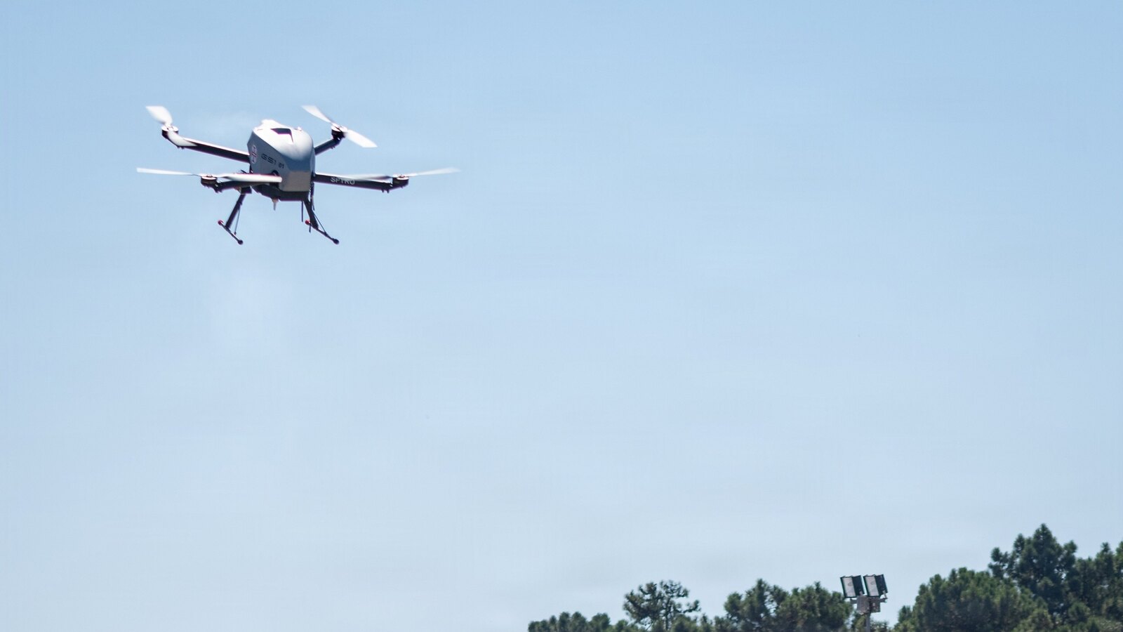
The hardest requirement in the third and final SAPIENCE competition was not on the task list. It was the condition wrapped around every task: no satellite positioning.
On 14 and 15 July 2026, four university teams ran their systems through a simulated disaster zone spanning indoor and outdoor settings at Unmanned Valley, an uncrewed-systems test facility in the Netherlands. NATO's Science for Peace and Security (SPS) Programme, which supports the competition, published its account of the event on 23 July. City St George's, University of London took the win.
Strip out GNSS and a great deal of what passes for drone autonomy stops working. Waypoint following, return-to-home, geofencing, formation-keeping, most commercial obstacle-avoidance stacks that lean on a global position fix to know where the obstacle was a second ago — all of it degrades or fails. SAPIENCE is built around that failure. In the published framing of the competition, SAPIENCE "challenges teams of young researchers to develop uncrewed aerial systems (UAS) able to autonomously perform search and rescue tasks without satellite positioning."
The task list is the story
Three requirements defined the run, and each one is a distinct research problem that teams had to solve simultaneously, on the same airframes, in the same flight.
Cooperate autonomously. The aircraft had to communicate with each other and divide tasks among themselves. Not a ground station parcelling out search sectors — the drones negotiating the split. That is a meaningfully different architecture: it assumes the link back to a human operator is the thing you cannot rely on, which is precisely the assumption that makes a system useful in a collapsed building or a jammed corridor.
Sense and avoid, with no human correction. Obstacles, terrain and one another. The last clause is the interesting one. Multi-aircraft collision avoidance without a shared satellite-derived position frame means each drone has to localise itself and its neighbours from onboard sensing and inter-vehicle communication alone, while the environment transitions between outdoor and indoor conditions — where lighting, GNSS availability, and the geometry of the space all change at once.
Interpret what they found. Detection was not the finish line. Teams had to identify survivors and deliver different supplies depending on urgency. That pushes the problem past navigation into onboard perception and decision-making: classify a scene, rank it, act on the ranking, and carry the right payload to the right place. A drone that finds a person and radios back a position is a sensor. A drone that decides this person needs the medical package rather than the water is doing triage.
Four teams, three rounds, one trophy
The competing institutions were City St George's, University of London (UK); the University of Klagenfurt (Austria); the University of Alabama in Huntsville (USA); and host Delft University of Technology (Netherlands). Those same four institutions are the collaborating partners named on the project from the outset.
SAPIENCE — the acronym unpacks as "Sense & Avoid – a cooPeratIvE droNe CompEtition" — opened in London in 2024. UAH hosted the second round in Huntsville in July 2025, bringing together roughly 25 students and university professors from the four partner institutions in the US, UK, Netherlands and Austria; the University of Klagenfurt says its team, led by doctoral student Luca Di Pierno, won that round, crediting the accuracy of its terrain mapping. Delft closed the series out in July 2026, and the London team took the final.
UAH described its round as a demonstration of "cutting-edge autonomous drone and AI technologies to survey indoor and outdoor environments in disaster situations, minimizing the danger to humans and providing first responders with the most effective information when faced with dangerous environments." The project's lead academic is Professor Nabil Aouf, Professor of Autonomous Systems and Machine Intelligence at City, University of London.
Three rounds across three countries with a stable roster is an unusual structure for a research competition. It means the 2026 results are not four teams' first attempt at the problem — they are the third iteration of systems that have already been beaten up in two prior environments, with the failure modes from each round feeding the next. That is closer to a development programme than a demo day.
What else was on the flight line
SAPIENCE was the competitive centrepiece, but it sat inside a larger SPS cluster event. On 16 July, the programme convened researchers, national representatives and NATO subject-matter experts at Unmanned Valley for live demonstrations of SPS-supported research, with project teams showing air- and land-based systems for search and rescue and for demining.
Among them: MINESEYE — "Unexploded Ordinance (UXO) Identification and Classification for Ukraine" — an SPS-supported project demonstrated at the same event. It is the clearest thread from the academic work on display to an active operational requirement — and it shares a technical core with the SAPIENCE task set, in that both come down to putting reliable classification onboard a platform operating in an environment that will not cooperate.
Two days of expert-level discussion ran alongside the flying, covering decision-making systems, advanced sensing and navigation, and the reliability of systems operating in challenging conditions. Participants compared results across projects, identified shared technical challenges and discussed opportunities for future collaboration — which, for a portfolio of separately funded university projects, is arguably the point of getting everyone onto one airfield.
Why It Matters
Almost every civil and commercial drone autonomy stack sold today is built on the assumption that a global position fix is available and trustworthy. SAPIENCE inverts that assumption and then asks for more capability, not less: cooperative task allocation, mutual collision avoidance, and onboard triage, all without the fix and without a human in the loop to correct mistakes. Each of those is hard alone. Demanded together, on the same aircraft, in a space that switches between indoor and outdoor conditions mid-mission, they describe a system architecture rather than a feature.
That architecture is the capability NATO's SPS Programme has chosen to fund three rounds of, and it is not hard to see why the alliance's science arm wants university teams grinding on it: the same competency underwrites disaster response in a collapsed structure and operations where satellite navigation cannot be counted on. The MINESEYE demonstration at the same event — Ukraine-focused, ordnance-focused — makes the adjacency explicit without NATO having to spell it out.
There is also a signal in the format. SPS did not commission a white paper on GNSS-denied autonomy. It ran the same four institutions through three competitions in three countries over two years and made them fly. Results from a real airfield, with real failures, are a different quality of evidence than a simulation study — and after three rounds, the accumulated engineering across those four university labs is a non-trivial return on a programme reported at €1.2 million.
What the published account doesn't tell us
NATO's write-up is a programme communication, not a technical report, and several things a UAS engineer would want are absent. There is no published scoring rubric or breakdown of how City St George's edged the field. There is no detail on which sensing modalities the teams used to replace GNSS — visual-inertial odometry, LiDAR-based SLAM, UWB ranging between vehicles, or some combination — or how the handover between outdoor and indoor segments was handled. Nor is it stated whether the task set and rules were held constant across the London, Huntsville and Delft rounds, which would determine how meaningfully the three results can be compared. Fleet sizes, airframe classes and payload masses are likewise not given.
With the series now closed, the open question is what happens to the work. Three rounds have produced four independently developed answers to the same tightly specified problem, plus a documented set of shared technical challenges identified by the participants themselves. Whether that converges into a follow-on SPS activity, feeds projects like MINESEYE, or disperses back into four separate research groups is not addressed in the material published so far.
Sources
- NATO SPS Programme demonstrates applications of uncrewed and autonomous systems — NATO, 23 July 2026
- NATO tests UAS applications and SAR operations without satellite positioning — Kylie Bielby, Unmanned Airspace, 24 July 2026
- UAH hosts international NATO drone competition highlighting use of autonomous technology in disaster relief — University of Alabama in Huntsville
- Team from the University of Klagenfurt wins drone competition in Huntsville, USA — University of Klagenfurt
- City, University of London's Professor Nabil Aouf leads on the NATO Science for Peace and Security Programme's SAPIENCE drone (AI based) competition project — City, University of London / EurekAlert