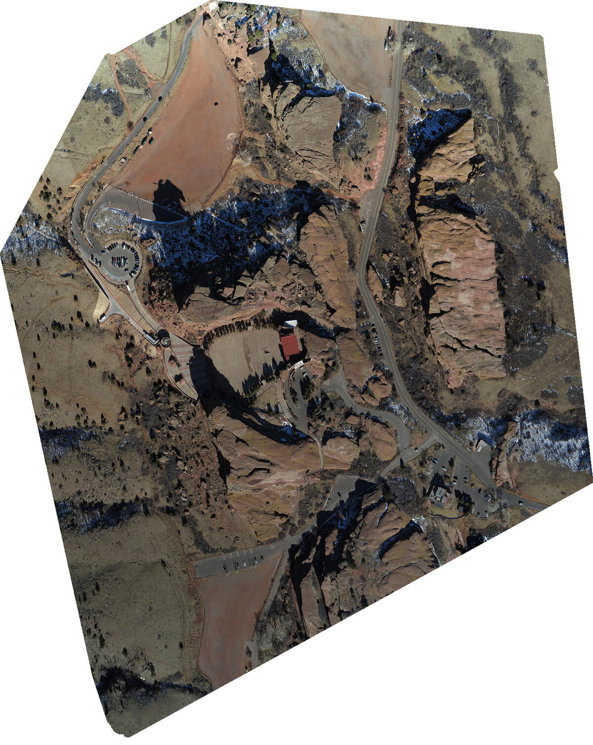
One hundred meters above an Indiana soybean field, a fixed-wing drone's camera fires sixty times a minute. By the time that imagery has been processed overnight — feature-matched, bundle-adjusted, and meshed — the team will have a georeferenced 3D reconstruction of 3,000 acres accurate to 1.5 centimeters. That figure, documented in Wingtra's operational data, isn't marketing copy. It follows directly from the math of photogrammetry: the same geometry that lets a phone camera estimate depth from two slightly displaced frames, scaled up, disciplined by GNSS, and anchored to the world with survey-grade ground control.
Understanding how that works — and where it fails — separates operators who get reliable data from those who discover their elevation model is 15 centimeters off at the edge of the site.
The Pipeline: Feature Matching to Deliverable
Structure from Motion (SfM) is the computational core. Every image overlaps its neighbors by a significant margin — typically 75–85% frontal and 60–70% lateral, both exceeding 80% for full 3D work. Software identifies common features across dozens of overlapping frames and triangulates their positions using bundle adjustment, an iterative optimization that simultaneously refines camera poses and scene geometry. Stage two densifies this: with camera positions fixed, multi-view stereo calculates depth for every pixel, producing a dense point cloud.
From there the pipeline branches into its deliverables. An orthomosaic projects all imagery onto the 3D surface and stitches it into a single geometrically corrected image that supports accurate distance and area measurement. A DSM captures the elevation of everything the camera sees, including canopy and structures. A DTM strips above-ground objects to expose bare earth — the basis for earthwork volume calculations. GeoTIFFs, LAS/LAZ point clouds, and DXF files round out a standard deliverable set that slots into Civil 3D, ArcGIS, and QGIS.
Resolution, Altitude, and the Ground-Truth Problem
Every mapping decision starts with Ground Sampling Distance — the real-world size of a single image pixel. The formula is straightforward: GSD = (Sensor Width × Altitude) / (Focal Length × Image Width). A DJI Zenmuse P1 at 100 meters AGL yields roughly 1.2 cm/pixel; a Phantom 4 Pro at 80 meters: 2.36 cm/pixel. Horizontal accuracy typically runs 1–2× GSD; vertical runs 2–3× GSD. A site with 30 meters of relief traversed at constant barometric altitude produces roughly 30% GSD variation (derived from the linear GSD formula: GSD scales directly with altitude) — enough to compromise accuracy at edges. Terrain-following flight modes address this by reading an existing DEM and adjusting altitude continuously.
Where the model breaks is georeferencing. SfM produces a self-consistent 3D reconstruction whose absolute accuracy may still be wrong by decimeters. Ground control points (GCPs) — physical targets measured with a survey-grade receiver and identified in imagery — anchor the model to world coordinates. RTK applies GNSS corrections in flight; PPK applies them post-flight from logged satellite data. Both approach 1–2 cm horizontal, 2–3 cm vertical on paper. Combined with GCPs, the ceiling tightens to 1–2 cm horizontal, 1–3 cm vertical.
But a 2020 study from Czech Technical University in Prague (Štroner et al., Sensors 20(8):2318) examined RTK confidence more rigorously than most vendor literature. Testing a DJI Phantom 4 RTK at 110 meters over homogeneous rural terrain, the team found RTK-only georeferencing produced vertical RMSD ranging from 0.049 to 0.147 meters across test flights, with a mean of 0.103 meters — errors that dropped to 0.020 meters when a single GCP was added. Their conclusion:
"The use of a GNSS RTK receiver in a multicopter UAV without external verification is potentially very dangerous."
The culprit is SfM's co-calibration problem: bundle adjustment tries to solve simultaneously for scene geometry and camera interior orientation. In homogeneous terrain, this becomes underdetermined, introducing bowl-shaped vertical distortion. One GCP prevents it. The practical rule: RTK reduces GCP count but never eliminates verification. Checkpoint RMSE — measured against surveyed targets withheld from processing — is the only credible accuracy metric.
The ASPRS Positional Accuracy Standards (Edition 2, 2023–2024) formalize what those numbers mean in practice. The 5 cm horizontal class supports 1:500 topographic mapping; the 10 cm class covers USGS QL2. Full certification requires 30 independent checkpoints. CE90 (the circle containing 90% of horizontal positions) runs approximately 1.52× horizontal RMSE; LE90 runs 1.64× vertical RMSE. A result of RMSEx = 3.2 cm, RMSEy = 3.8 cm (combined RMSEr = 4.97 cm), 6.1 cm vertical RMSE translates to CE90 of 7.5 cm — within the 5 cm ASPRS class.
Software Divergence and the Vegetation Ceiling
The dominant platforms approach the same algorithms from different directions. A 2024 PMC study (Sittarich et al.) compared Pix4Dmapper, Agisoft Metashape, and DJI Terra over a 40-hectare forested site in Tully, New York. Pix4D and Metashape produced point clouds roughly 2.5× denser than DJI Terra; Pix4D required roughly twice the processing time of the other platforms. DJI Terra, despite lower density, generated fewer gaps on forested regions, yielding a more complete DSM for canopy work. Height estimates diverged 0.5–2.5 meters across platforms — a practical caution against treating outputs as interchangeable.
DroneDeploy sits apart: cloud-native processing with tight construction project management integration. For large sites needing daily orthomosaics compared against BIM models, the per-point fidelity tradeoff is rational. Metashape dominates research workflows because it exposes every algorithmic parameter. Pix4D leads in survey-professional integrations despite the speed penalty. No platform wins universally; the right choice depends on terrain type, required deliverable, and whether processing time or point density matters more for a given project scope.
The clearest hard limit for photogrammetry is vegetation. SfM sees what the camera sees — dense canopy occludes the ground completely. LiDAR's active laser pulses find gaps, reaching bare earth under significant cover. Featureless surfaces — fresh snow, wet concrete, smooth metal — also defeat SfM's feature-matching. LiDAR has no such constraint. The inverse is equally clear: LiDAR produces no color information and no orthomosaics. For construction documentation, agricultural canopy analysis, or any photorealistic deliverable, photogrammetry is the only tool. Modern high-end platforms increasingly carry both sensors, fusing ground penetration with color data in a single flight pass.
For bare, textured, well-controlled open terrain — the case most survey operators actually face — photogrammetry delivers the best data per dollar flown. Knowing when that description no longer applies is the judgment call that separates competent survey work from expensive rework.
Sources
- SPH Engineering — Drone Mapping Guide for Professionals (2026)
- Wingtra — Drone surveying: how it works and what accuracy to expect
- Propeller Aero — LiDAR vs Photogrammetry: Comparing Accuracy, Cost, and Application
- Propeller Aero — The Impact of Ground Sample Distance on Your Drone Data Quality
- Štroner et al. — Evaluation of the Georeferencing Accuracy of a Photogrammetric Model Using a Quadrocopter with Onboard GNSS RTK, Sensors (Basel) 2020
- Aero Cartwright — Drone Survey Accuracy: RMSE, CE90, LE90, ASPRS Standards (2026)
- Wingtra — LIDAR vs. photogrammetry: which sensor should you choose?
- Sittarich et al. — A Comparative Analysis of UAV Photogrammetric Software Performance for Forest 3D Modeling, PMC 2024
- DroneDeploy — Understanding drone photogrammetry: your key to smarter construction projects