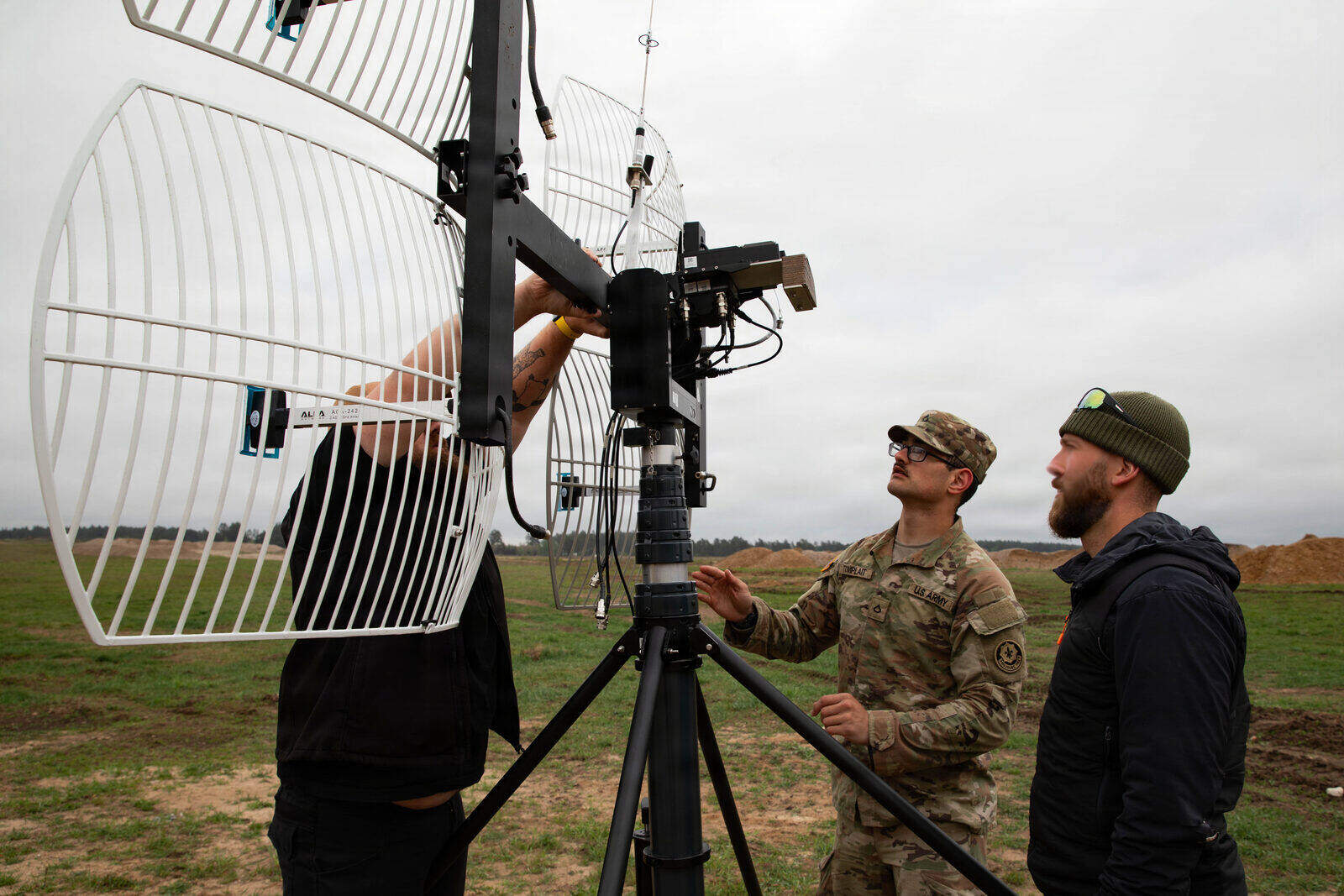
By mid-2024, FPV drone hit rates along Ukraine's eastern front had collapsed. What had been 40–60% accuracy in 2023 fell to 20–30% or lower as Russian electronic warfare systems matured. HIMARS Excalibur rounds — engineered for two-meter accuracy — were missing by 30 meters or more in heavily jammed sectors, a degradation of up to 90 percent. The Pole-21 ground jammer alone was pushing GPS accuracy from 8 meters to 50-plus meters CEP across entire sectors of the front.
The lesson was blunt: GPS is a peacetime luxury. "The decisive question," as Defence Research and Studies framed it, "is whether small drones—specifically nano, micro, 7-inch, and 10-inch class systems—can maintain navigational integrity when GNSS denial, spoofing, and command-link interference become the standard operating environment." Ukraine became the most intensive live test of that question in recent unmanned aviation history.
Jamming and Spoofing Are Not the Same Threat
The two attack modes require different countermeasures, so conflating them is an engineering error. Jamming floods a receiver with radio noise loud enough to drown out the weak signals from GPS satellites. The receiver loses lock, the drone knows it has lost lock, and the pilot or autopilot must react. Jamming is overt — its strong RF emission is trivially locatable.
Spoofing is subtler. A spoofer transmits counterfeit satellite signals that the receiver accepts as legitimate. The drone continues to show a satellite fix and appears to navigate normally while drifting toward a false position. The tell is in the satellite count: a receiver that normally resolves 23 satellites suddenly resolves 12. Without anomaly detection software watching for that drop, the deception holds.
Russia's Krasukha-4 broadband jammer claims suppression of airborne radar beyond 200 kilometers and disruption of low-Earth-orbit satellite communications. The R-330Zh Zhitel creates VHF/UHF suppression zones tens of kilometers wide, degrading GPS and cellular across entire sectors. Portable jammers of just 10–40 watts produce GNSS blackout zones several kilometers wide — cheap enough to distribute along a front line at scale. Commercial quadcopters and FPV drones "routinely encounter GNSS loss within 5–10 km of front-line EW deployments."
Multi-constellation reception — combining GPS, GLONASS, Galileo, and BeiDou — raises the bar against spoofing. Forging all four constellations simultaneously is considered "computationally infeasible" even for state-level actors. The EU's Galileo OSNMA adds cryptographic Message Authentication Codes with delayed key disclosure, making it impossible to forge navigation messages without the private key. GPS IIIF satellites, expected to launch in 2027, will carry a Regional Military Protection beam 60 times stronger than the current M-code signal.
The Navigation Toolkit, Layer by Layer
Modern GPS-denied navigation is not a single technology. It is a stack, each layer covering the failure modes of the one below it.
Inertial Navigation (INS/IMU). The baseline layer. An inertial measurement unit tracks acceleration and rotation in three axes, integrating those readings into a position estimate with no external signals at all. MEMS-based INS units can sustain controlled flight for 20–60 seconds during complete GNSS loss before drift becomes mission-critical. The problem is that drift accumulates continuously and compounds. Strategic-grade INS hardware that drifts slowly enough for long-range missions is heavy and expensive, ruling it out for sub-kilogram drones. INS alone is a bridge, not a solution.
Optical Flow. A downward-facing sensor measures the apparent pixel-by-pixel motion of the ground below the drone to estimate velocity and hold hover position. Effective at low altitude in clear conditions; largely useless in smoke, dust, or the kind of obscurants that define contested airspace. A drone navigating a smoke-covered battlefield cannot rely on optical flow alone.
Visual-Inertial Odometry (VIO). The current workhorse for GPS-denied autonomy. VIO fuses camera frames with IMU data to estimate position and orientation without external signals. In tested conditions it achieves drift as low as 1–2% of distance traveled — far better than INS alone. High-speed implementations operating below 30 milliseconds of latency enable FPV-class agility. Fusing VIO with LiDAR further reduces cumulative positional drift by 40–70% in GPS-denied trials. Millimeter-wave radar modules under 150 grams extend the principle to conditions where cameras fail outright — fog, dust, smoke.
SLAM. Simultaneous Localization and Mapping goes a step beyond VIO by building a map of the operating environment in real time while tracking position within it. No pre-loaded map data required. Vision-based SLAM optimized for micro-UAVs uses hardware-accelerated feature extraction and asynchronous keyframe selection to keep compute loads within the power and weight budgets of small platforms.
Terrain and Scene Matching. Where SLAM builds local maps dynamically, terrain-referenced navigation compares onboard sensor data against pre-stored terrain databases to derive an absolute position fix — resetting the accumulated drift of the layers below it. AI-driven scene matching against satellite imagery can achieve global localization even when the stored imagery is significantly out of date. OKSI's OMNInav module, weighing 300 grams and drawing 5 watts (70×50×50 mm), combines SLAM for local precision with satellite imagery matching for global updates. It was successfully tested against imagery up to ten years old, with cross-modal feature matching handling seasonal variation including snow cover, vegetation growth, and landscape alteration. Russian V2U attack drones use Nvidia Jetson Orin processors for computer-vision and autonomous navigation; Shaheds have been found with AI-enabling chipsets, suggesting similar capabilities are being integrated.
Magnetic, Celestial, and Opportunistic RF. Earth's magnetic field creates a geographic fingerprint that passive magnetometer navigation (MagNav) can exploit. Passive RF positioning uses commercial cellular beacons, Wi-Fi, and broadcast TV and FM signals as opportunistic external references when GPS is denied. Magnetic-anomaly mapping is particularly effective in subterranean and indoor environments where every other method struggles. Ukraine's sea drones independently developed star-position and radio-signal navigation to operate beyond radio-control range.
Quantum Navigation. The emerging layer. Quantum sensors measure inertial forces at atomic scale, achieving accuracy levels that make conventional MEMS look approximate. Q-CTRL's Ironstone Opal system tracked aircraft location 94 times more accurately than strategic-grade conventional INS in GPS-denied flight tests. Infleqtion's Tiqker atomic clock uses infrared lasers tuned to rubidium electrons; chief scientist Max Perez describes it as a clock that "will lose one second every 2 million years or so," tested on UK flights, US Army ground vehicles, and a drone submarine as of late 2025. The catch, as Q-CTRL CEO Michael Biercuk notes: "Usually there's 100 to 1,000 times more noise than signal" — quantum sensors are exquisitely sensitive and exquisitely fragile in fielded environments.
DARPA's Robust Quantum Sensors (RoQS) program, launched in late summer 2025, and DIU's Transition of Quantum Sensing (TQS) initiative, announced in March 2025, are the primary US funding vehicles. Performers include Honeywell and Vector Atomic (quantum IMUs, under CRUISE), Leidos and MIT Lincoln Laboratory (quantum magnetometer MagNav), and Lockheed Martin, Q-CTRL, and AOSense (quantum-enabled INS under QuINS). Q-CTRL is a performer under both programs.
Ukraine as Accelerant
The conflict compressed a decade of GPS-denied R&D into roughly three years. Ukraine's response to Russian EW dominance tracked through every layer of the navigation stack simultaneously, driven by operators who measured success in lives and territory rather than program milestones.
The Fourth Law's autonomy modules — $50 per unit, deployed in "more than thousands" of units to eastern Ukraine — retrofit existing drones with autonomous final-approach navigation that needs neither GPS nor radio link. One Ukrainian brigade reported success rates improving from roughly 20% to 80% after fitting $70 AI vision modules. The nonprofit OCHI accumulated over 2 million hours of frontline drone footage specifically to train machine-vision algorithms for GPS-denied target recognition.
Fiber-optic tethered FPV drones attacked the radio vulnerability from a different angle: if the signal travels as light pulses through a hair-thin cable instead of through the air, it cannot be jammed at all. The cost premium is under $100 per unit. Range is limited to 10–20 kilometers, but within that envelope the approach is effectively unjammable. By September 2025, Russia was producing an estimated 50,000-plus fiber-optic FPV drones monthly.
Operation Spider's Web on June 1, 2025 — a 4,000-kilometer deep strike — is reported to have used IP relay architectures over LTE, Wi-Fi, Ethernet, and fiber for command-and-control; the extent to which it relied on GPS-independent navigation has not been fully confirmed in open sources.
The arms-race math currently favors autonomy. Autonomous drones using computer-vision software improve strike rates up to four times compared to purely operator-controlled systems.
Fourth Law founder Yaroslav Azhnyuk described the endpoint trajectory as "swarms of autonomous drones carrying other autonomous drones to protect them against autonomous drones." The navigational question is already settled in that future: "only those platforms engineered with multi-sensor resilience, cryptographic protection, autonomous recovery behaviours, and hardened communication links will remain effective."
Kate Bondar of CSIS captured the commercial and military gap simultaneously: "Drones can fly in labs, but in real life, forces are afraid to deploy them because the risk of a mistake is too high." The gap between laboratory navigation performance and battlefield reliability is where the next several years of development will be spent — closing the distance between a 1–2% drift figure in a test corridor and a sub-1% drift figure in smoke, electronic noise, and the kind of adversarial environment that treats GPS as a target rather than an infrastructure.
Sources
- Defence Research and Studies — Navigating Small Drones in an Electronic Warfare Environment
- IEEE Spectrum — Autonomous Drone Warfare
- Military Machine — Russia Electronic Warfare Ukraine Drones
- GIS Reports Online — Ukraine DIY Drones
- MIT Technology Review — Quantum Navigation and the Military's GPS Jamming Problem
- The Relay Magazine — Quantum PNT Breaks Out as DIU and DARPA Make GPS-Proof Nav Real
- OKSI — OMNInav GPS-Denied Navigation
- MGI Defence — Electronic Warfare Resistant Drones
- GPS.gov (U.S. government) — Information About GPS Jamming