
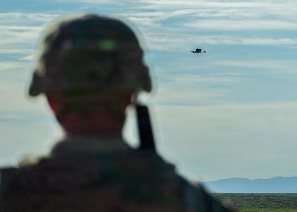
The Department of Transportation, the Department of War and the Department of Homeland Security jointly announced on Friday, Oct. 16, a temporary flight restriction that bars unauthorized drone operations along the full length of the U.S.-Mexico border. The restricted band runs from the surface up to 400 feet above ground level and extends one nautical mile north of the border. According to the FAA's domestic notice, it stays in place for a full year.
The announcement used the language of homeland defense. The details matter more to operators. The only way into the zone is a waiver from U.S. Customs and Border Protection, and by DroneXL's reading of the approval categories, a commercial survey flight, a real-estate shoot or a hobbyist's evening flight does not fit any of them.
The notices also contain inconsistencies that operators will need to resolve before they fly. They are covered below.
What exactly is restricted?
The FAA newsroom release says the TFR prohibits unauthorized drone operations up to 400 feet AGL within one nautical mile north of the U.S.-Mexico border. DroneXL reports that the restriction covers every drone, including recreational ones under 250 grams. Small size does not exempt a drone from this TFR.
DroneXL reports that the FAA classifies the airspace as National Defense Airspace under 49 USC 40103(b)(3), and that a pilot who flies in can be intercepted, detained, fined, stripped of an FAA certificate or charged under 49 USC 46307. It also reports that the NOTAMs warn the Defense Department, DHS or the Justice Department may interfere with, seize, damage or destroy a drone judged a credible threat, under 10 USC 130i and 6 USC 124n.
The one-mile band is not empty desert. DroneXL notes that it takes in the downtowns of El Paso, Laredo and Brownsville in Texas, Nogales in Arizona and Calexico in California.
When does it start and end?
The sources give three different start times. The FAA newsroom release calls the restriction effective on the day of the announcement, Oct. 16. AVweb also reported it as effective immediately and said the announcement did not specify a duration. The FAA Domestic Notice, issued by AJR-23 and dated 10/16/2026, gives an effective period of Oct. 19, 2026, to Oct. 19, 2027. DroneXL reports that the three underlying NOTAMs take effect at 00:00 UTC on Oct. 20 and run through Oct. 19, 2027.
The Domestic Notice and DroneXL agree on the end date of Oct. 19, 2027. For the start date, operators near the border should assume the restriction is already in force and check the active NOTAMs before every flight. The FAA newsroom release says operators are responsible for reviewing all applicable NOTAMs and restrictions before flying, and the Domestic Notice recommends checking NOTAMs frequently for changes.
Which NOTAMs apply, and which number is right?
The FAA Domestic Notice lists three NOTAMs:
- ZLA 6/9954 (Los Angeles Center)
- ZAB 6/9978 (Albuquerque Center)
- ZHU 6/9956 (Houston Center)
DroneXL says the three NOTAMs split the line at the boundaries of the Los Angeles, Albuquerque and Houston air traffic control centers, and lists their numbers as 6/9954, 6/9955 and 6/9956. The first and third numbers match the FAA notice. The middle one does not: DroneXL gives 6/9955, while the FAA notice gives 6/9978 for Albuquerque Center. UASFeed could not determine from the published material which number is correct or whether the NOTAM was reissued. The FAA's own domestic notice is the primary document, but operators should check the live NOTAM system directly and not rely on any secondary source, including this one.
The live system was not much help at first. DroneXL reported that as of 2:55 p.m. ET on Friday, none of the three NOTAMs appeared on tfr.faa.gov or in the UAS Data Delivery System (UDDS). The FAA release says it will publish a NOTAM that links the Domestic Notice and UDDS. The Domestic Notice also says its accompanying graphic is "for situational awareness only" and tells operators to refer to the published NOTAMs for the boundaries, dates, altitudes and exceptions.
How do you get permission to fly?
CBP is the only route in. Under the Domestic Notice, operators email waiver requests to [email protected] at least 48 hours before the flight. A request must include:
- Operator name and FAA certifications
- A phone number
- Date, time and location of the operation
- The drone's Remote ID, make, model and serial number
First responders and other organizations responding to natural disasters or other time-sensitive emergencies may be eligible for expedited coordination through CBP at 951-570-4185, according to the notice.
Who can actually get approved?
DroneXL reports that the approval list in the NOTAMs lets CBP clear flights in direct support of national defense, homeland security, law enforcement, firefighting, medical evacuation, search and rescue or disaster response, plus "event operations," which the NOTAMs do not define. DroneXL notes that the list has no category for routine commercial or recreational flying.
That gap is the main issue for the civil drone industry. DroneXL's own take is that, as written, the list offers no category that a roof inspector or a real-estate photographer in El Paso or Laredo could apply under. Other routine commercial work, such as infrastructure inspection or construction mapping, does not clearly fit the list either. Operators who apply anyway may find that the 48-hour lead time and the required Remote ID and serial number details are the easy part. The harder question is whether CBP will consider their mission at all.
Why now?
The officials framed the move as a response to cartel drone activity. Secretary of War Pete Hegseth said the restriction gives commanders "greater awareness, greater decision space, and more options to defend the Homeland," and added: "Equipped with cutting-edge technology—including Directed Energy Weapons—our warfighters will shoot down any cartel drone that threatens America's sovereignty." Transportation Secretary Sean Duffy and DHS Secretary Markwayne Mullin were also quoted in the joint release.
The restriction expands earlier, smaller measures. DroneXL reports that an August 2025 ban covered about 150 square miles north of Nogales through Feb. 9, 2026, and that the military counted 378 drone incursions on the border between late August and late September. AVweb notes that El Paso airspace was briefly closed earlier this year over concerns about laser counter-drone systems, and that military personnel mistakenly shot down a CBP drone near Fort Hancock, Texas, in February. AVweb adds that federal officials later approved high-energy laser use in the area after a safety assessment.
That history matters to anyone inside the zone. Hegseth has said the military will shoot down cartel drones that threaten the country, using directed-energy weapons among other tools, and a military laser has already destroyed one of CBP's own drones near Fort Hancock.
Why It Matters
The restriction runs the full length of the border, from the Pacific coast to the Gulf coast, and takes in the downtowns of several border cities. A National Defense Airspace designation, counter-drone authority under 10 USC 130i and 6 USC 124n, and a stated willingness to use directed-energy weapons together make an accidental incursion far more serious than an ordinary TFR violation.
For commercial operators in El Paso, Laredo, Brownsville, Nogales and Calexico, the problem is practical. The published approval categories cover government and emergency missions plus an undefined "event operations" category, and nothing else. Unless CBP clarifies that category or adds a commercial path, routine Part 107 work inside the one-mile band has no published approval category for the next twelve months.
The rollout also had gaps. The sources give three different start dates, one NOTAM number differs between the FAA notice and DroneXL's reporting, and the NOTAMs were missing from tfr.faa.gov and UDDS on Friday afternoon. The FAA release and notice both leave it to operators to check the NOTAMs and comply.