Somewhere in Chula Vista, California, a priority 911 call drops into the dispatch queue. Before a patrol car shifts into drive — before, in many cases, a dispatcher has finished the call — a drone is already airborne. It reaches the scene in under 97 seconds on average. The nearest ground unit, by contrast, is chasing a municipal target of seven minutes. That gap is not a margin; it is a qualitatively different response model, and it has quietly reshaped how public safety agencies think about the first moments of an emergency.
This is the promise of the Drone as First Responder (DFR) paradigm: prepositioned unmanned aircraft systems that launch autonomously the moment a matched 911 call hits computer-aided dispatch, fly Beyond Visual Line of Sight (BVLOS) to the scene, and feed live video to commanders before any human unit arrives. What started as a single FAA pilot program has become a national operational template.
Chula Vista and the Regulatory Ladder That Built a Movement
The Chula Vista Police Department (CVPD) launched the first U.S. DFR program in 2018 under an FAA pilot program. The early program was constrained: drones could only fly within visual range of a certified observer. That changed in May 2019, when the FAA issued CVPD the first 3-mile BVLOS waiver for public safety — authorizing drones to fly anywhere within city limits without an observer on-scene. The program crossed 10,000 BVLOS emergency flights in March 2022. By May 8, 2026, total missions exceeded 25,000.
The numbers behind those missions carry weight. Of 25,000-plus deployments, 17,170 saw the drone arrive on scene ahead of every ground unit. Average response time in those cases: 96.98 seconds. The drone contributed to 4,138 arrests across the program's history and — critically — closed 4,629 calls entirely without dispatching a ground officer.
Chief Roxana Kennedy has repeatedly stated that the drone program de-escalated more incidents than any other tool in the department's arsenal and called it a game changer for reducing unnecessary dispatches. That characterization is grounded in the dispatch math: when a drone can confirm that a reported disturbance is a false alarm or a minor matter, the ground unit turns around. CVPD avoided unnecessary dispatches in roughly 25% of all drone-assisted calls. Programs that followed — in Fresno, Oklahoma City, Las Vegas, and Miami Beach, among others — have replicated those outcomes at their own scale.
The FAA waiver pipeline has accelerated sharply to accommodate that growth. From 2018 through 2024, the agency approved just over 50 DFR waivers across seven years. Under a new streamlined process introduced in late 2024, that pace collapsed from an 11-plus-month average approval timeline to approximately one week — some waivers approved in under two hours. By June 11, 2025, the FAA had received 300 DFR waiver submissions under the new framework, granting 214 approvals with 78 pending.
The waiver ecosystem now spans several distinct categories. In October 2024, Campbell, California became the first agency to receive an experimental DFR waiver, using radar, ADS-B, and optical detection technologies with no visual observer at all. In December 2024, Fort Wayne Police Department received the first Part 107 DFR waiver, eliminating the observer requirement in Class G airspace — though it required prop guards, parachutes, anti-collision lighting, and ADS-B receivers. November 2024 saw the FAA introduce the Public Safety Organization-Shielded Operations (PSO-SO) waiver, enabling up to one mile of BVLOS operations via FAA DroneZone and available to any public safety organization regardless of governmental status. The FAA's Part 108 rulemaking is designed to replace this patchwork of waivers with a standardized national BVLOS framework built on risk, accountability, and performance-based standards.
What the System Actually Does
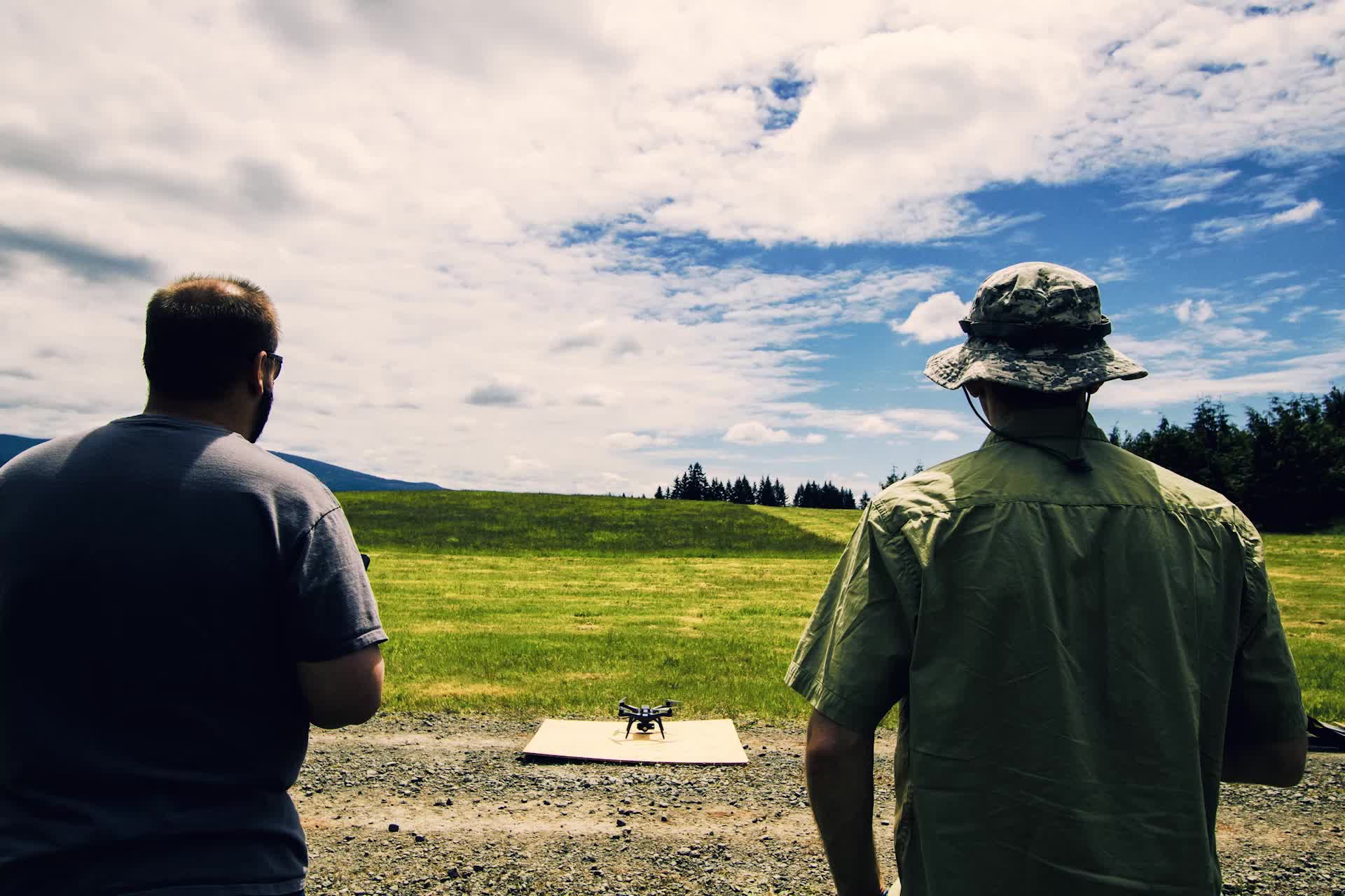
A functional DFR deployment rests on five integrated components: a multirotor aircraft; a dual electro-optical/infrared (EO/IR) sensor payload; an automated, weather-proof docking station; tactical software wired into computer-aided dispatch; and sense-and-avoid technology combining ADS-B receivers with AI-based obstacle avoidance. When a priority call enters the CAD system, the dock opens and the drone launches without human input. The pilot — who may be managing multiple aircraft — monitors via live downlink and assumes control if the mission requires it.
The thermal half of the EO/IR payload is what makes DFR genuinely useful in fire, search-and-rescue, and nighttime response. Thermal cameras operate in the 8,000-to-14,000 nanometer infrared spectrum, detecting the human body's roughly 98.6°F heat signature against colder terrain. Critically, they are unaffected by ambient light and can penetrate smoke, heavy fog, and total darkness — conditions that stop ground search teams entirely. FEMA's National Urban Search & Rescue Response System uses thermal-equipped drones for collapsed-structure searches. On September 14, 2024, a ten-year-old girl named Peyton Saintignan who had sleepwalked into Louisiana woods before dawn was located by a thermal drone flying above the treeline, detecting her heat signature when no ground team could.
Medical response has emerged as a distinct and data-rich application. A Swedish cardiac arrest study covering 53 cases found that drones were deployment-eligible in 14 instances, successfully delivered an AED in 11 of 12 deployments, and arrived before the ambulance with a median time advantage of 1 minute 52 seconds. An extended phase of the same study tracked 37 cases and found a median time gain of 3 minutes 14 seconds. The clinical relevance is not marginal: survival probability in cardiac arrest decreases by approximately 10% for every minute without defibrillation.
At the program level, the aggregate dispatch math is consistent. Lakewood Police Department drones arrived ahead of ground units 80% of the time during their first six months of operation. The national estimate for unnecessary dispatch reduction from DFR integration sits at 15 to 20%. According to LEDA figures cited by Motorola Solutions, approximately 6,000 police drone programs now operate nationwide. The 87% of new DFR waiver submissions targeting below-200-feet shielded operations reflects where most of the operational volume lives: urban environments with buildings, trees, and utility infrastructure that effectively create a low-altitude buffer from manned aviation.
The Oversight Problem Drones Haven't Solved
The ACLU's 2011 report, Protecting Privacy From Aerial Surveillance: Recommendations for Government Use of Drone Aircraft, remains the foundational civil-liberties framework for this conversation — which itself signals the problem. Fifteen years after that report identified core governance risks, most DFR programs operate under policies set by police departments rather than legislative bodies, with minimal public audit mechanisms.
The ACLU's argument is not that drones are inherently impermissible in public safety roles. It is that drones equipped with facial recognition, infrared technology, and audio monitoring capabilities represent qualitatively new surveillance infrastructure requiring qualitatively new legal guardrails. The organization's five-point framework calls for: usage limits requiring a warrant, emergency justification, or specific articulable grounds; strict image retention limits tied to active criminal relevance; policies written and accessible by public representatives, not police departments acting unilaterally; open audits and meaningful oversight mechanisms; and a flat prohibition on weaponizing drones — lethal or otherwise.
The data retention question is where policy has begun to materialize. The ACLU recommends that imagery be retained only when there is “reasonable suspicion that they contain evidence of a crime or are relevant to an ongoing investigation or trial.” Most jurisdictions have enacted nothing.
Jay Stanley, Senior Policy Analyst at the ACLU's Speech, Privacy, and Technology Project, framed the stakes plainly in 2011: “Will we be able to walk out of our front door without wondering at all times whether some eye in the sky might be watching every move we make?” The question has only become more pointed. The ACLU has also raised concerns that airspace controls can be deployed not for safety, but to limit public documentation of law enforcement activity.
The expansion of DFR into multi-drone single-pilot configurations, continuous patrol modes, and AI-assisted target tracking will require the governance frameworks that currently do not exist to catch up with operational realities that very much do. Part 108's performance-based approach may establish technical standards for what aircraft can do. It says nothing about what governments should be permitted to do with the data they collect.
Sources
- City of Chula Vista — CVPD UAS Drone Program (official city/PD page)
- DroneXL — Chula Vista PD DFR Drone Program Surpasses 25,000 Missions
- DRONERESPONDERS — Chula Vista PD Drone as First Responder Program Surpasses 10,000 BVLOS Emergency Flights
- Police1 — 2025: The Year Drone as First Responder Programs Went Mainstream
- Police1 — Navigating the Latest FAA Drone Regulation Updates for Public Safety
- Motorola Solutions — Drone as First Responder
- Autonomy Global — FAA Sharpens Drone Rules for First Responders with New BVLOS, SGI, and Stadium Tools
- ACLU — Domestic Drones (issues overview)
- ACLU — New Eyes in the Sky: Protecting Privacy from Domestic Drone Surveillance (2011)
- Advexure — Thermal Drones in SAR: Critical Tools for Saving Lives
- UAV Coach — Drone as First Responder