On February 6, 2023, two magnitude 7.8 earthquakes struck Turkey and Syria within nine hours of each other—the strongest seismic event in Turkey in more than 80 years. In the immediate aftermath, as search teams scrambled through rubble, a crew from Ankara-based Atay Mühendislik deployed a DJI Mavic drone. Thirty-four photographs. Under 17 seconds of processing time in Pix4Dreact software. The result: a georeferenced ortho-mosaic covering 80,994 square meters at 2.9 centimeters per pixel, delivered to rescue coordinators within a 15-minute total project window. That mosaic identified safe ambulance routes through debris fields and pinpointed building collapse locations before ground teams had completed a single city block on foot.
That kind of capability—rapid, precise, actionable aerial intelligence delivered in the critical hours after catastrophe—explains why drones have become fixtures in major disaster response worldwide. But between a commercial off-the-shelf quadcopter and a mission-ready emergency asset lie layers of operational protocol, regulatory authorization, organizational coordination, and hardware compliance requirements that determine whether that footage ever reaches a first responder, or ends up as untagged video on somebody’s personal storage drive.
Damage Assessment: The Primary Use Case
FEMA’s damage classification system—Affected, Minor, Major, Destroyed—drives federal funding allocation for disaster survivors. Getting those classifications right, fast, is where unmanned systems have carved out their most defensible niche. At scale, that means systematic aerial surveys of hundreds or thousands of structures in the days immediately following an event, producing imagery that validates or contradicts ground-truth assessments from inspectors who may not reach every address for weeks.
Hurricane Harvey in 2017 established the modern template. The storm caused 68 deaths and an estimated $125 billion in damage—the second costliest U.S. storm since Katrina. The Center for Robot-Assisted Search and Rescue at Texas A&M (CRASAR), which had conducted an early domestic humanitarian UAS deployment during Katrina in 2005, executed 119 flights in Harvey’s aftermath at the request of Fort Bend County’s Office of Emergency Management. Separately, volunteer network DroneUp mobilized more than 400 pilots executing over 5,000 missions. That same season, Hurricane Irma—129 deaths, $50 billion in damage—saw Florida State University’s Center for Disaster Risk Policy complete 247 flights assessing 491 critical infrastructure targets.
Seven years later, the operational scale has shifted dramatically. Nearmap, operating under an enterprise agreement with FEMA that permits direct tasking without one-off contracting, conducted more than 40 disaster missions in 2024 alone—capturing over 57,000 square miles of disaster-affected terrain, with high-resolution ortho-rectified imagery delivered within an average of 25 hours from aircraft arrival. The downstream effect: damage validation that can accelerate disaster relief funding availability to as little as 72 hours after validation is complete.
FEMA’s own operational requirements reflect how seriously the agency now takes aerial documentation. Sensors must deliver a minimum 12-megapixel resolution with GPS accuracy within 5 meters, real-time video transmission, thermal imaging capability, and at least 20 minutes of battery endurance. Altitude deconfliction in disaster zones assigns drones to the 200–400 foot AGL band, with manned aircraft operating between 500 and 1,500 feet—a protocol that didn’t exist in standardized form during Harvey, when unauthorized operators interfered directly with helicopter rescue operations.
“It provided closure for our community…see, ‘Do I still have a house? What is it that I need to do?’” — community member, Hurricane Harvey response
The Turkey earthquake illustrated what the technology can deliver when it works.
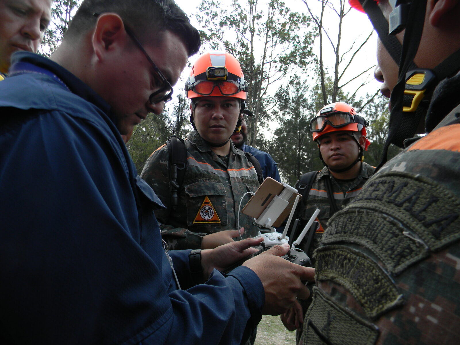
The Authorization Pathway—and Its Friction Points
Before any of that imagery reaches an incident command post, an operator has to get legal. The 2016 Part 107 Small UAS Rule (14 CFR Part 107) was the first framework to open disaster drone operations to civilian and NGO operators; prior to that, between 2005 and 2016, meaningful response was effectively restricted to military and government agencies.
Part 107 certification is the baseline. In an active disaster zone—typically covered by a Temporary Flight Restriction—operators have three primary authorization tracks. Emergency Certificates of Waiver or Authorization can be processed within hours for declared disasters. Operators who already hold existing COAs may be able to proceed directly. And the Special Governmental Interest process, introduced in 2017 specifically for expedited emergency scenarios, lets first responders and supporting organizations get real-time airspace authorization directly from the FAA System Operations Support Center. The digital SGI filing system eliminated printed documents and signature requirements and carries no cost for public safety and emergency support pilots.
The hard constraint: none of these pathways can be initiated by someone who doesn’t already hold a Part 107 certificate or COA. Emergency authorization is not a substitute for prior certification—it’s an expedited lane for credentialed operators. During Harvey, the FAA issued 43 UAS operation authorizations by August 31, 2017: eight to a railroad operator for damage surveys, five to oil and energy companies, four to news organizations. The gap between those authorized operators and the hundreds of well-intentioned pilots who showed up anyway created persistent coordination friction.
“Not just showing up at the door, because you become an additional burden to the responders,” said Kat Swain, Senior Director of UAS Programs at AOPA, advising would-be volunteers against self-deploying without coordination.
State law adds another layer. Texas prohibits non-government operators from overflying private property without owner permission, meaning Houston-area operators required both FAA authorization and sponsorship by a government entity. “We’re seeing a lot of people get caught in that,” said Robin Murphy, CRASAR’s director, during the Harvey response. Federal approval and state permission are independent requirements—clearing one doesn’t resolve the other.
The Harvey experience also exposed a hardware limit that doesn’t show up in vendor spec sheets: tethered drones, expected to provide persistent overhead surveillance, proved ineffective in the field. Limited viewing area and an inability to geo-tag imagery resulted in what researchers described as “overwhelming amounts of untagged video”—footage that couldn’t be integrated into any common operating picture and created more analytical burden than it resolved.
On the hardware compliance side, the Department of Homeland Security released formal UAS guidance for public safety in March 2024, covering CBRNE sensor payload integration and establishing 18 operational assessment criteria for Blue UAS systems. Blue UAS—the DoD’s cyber-secure cleared hardware list, initiated in 2020—is required under federal disaster response hardware procurement agreements. The 2024 DHS guidance formalized testing scenarios including search and rescue, post-incident damage assessment, situational awareness exercises, and nighttime operations. Blue UAS certification isn’t just about drone security; it gates which hardware agencies can legally procure and deploy under federal agreements.
Supply Delivery and the Case for Local Capacity
Beyond assessment and search-and-rescue support, drones have proven particularly effective at the last-mile delivery problem: moving medical supplies, vaccines, and diagnostic kits into areas where road access has been cut by flooding, debris, or infrastructure collapse.
The World Food Programme has operated drone programs since 2017, completing more than 50 activities across five prepositioning regions, with capacity-building support reaching more than 400 participants in 15 countries. WFP organizes its drone technical work through four working groups: Ethics, Operations and Regulations, Imagery, and Connectivity.
The organizational model matters as much as the hardware. The 2015 Nepal earthquake response demonstrated the failure mode when that model is absent: international teams arrived with drones and good intentions but executed an intervention that was, per a WeRobotics retrospective, “almost entirely foreign-led, top-down and techno-centric.” Five months after the earthquake, on September 25, 2015, Nepal Flying Labs was founded specifically to build local capacity that could outlast any single disaster deployment.
By November 2019, WeRobotics, Nepal Flying Labs, and WFP Nepal ran a five-day training and disaster simulation attended by more than 40 participants from 16 Nepali organizations. The Nepal team completed the full simulation—scenario activation, drone deployment, data processing, and reporting—in 3 hours and 4 minutes, a world record at the time. WeRobotics’ broader Flying Labs Network comprised 38 locally-led labs across 40 countries by end of 2025, completing 669 locally-led projects and training initiatives. The distinction from the Nepal 2015 model is structural: local capacity sustains itself between disasters and can be activated immediately, without the coordination overhead and cultural friction of an international surge deployment.
Persistent Gaps: Data, Privacy, and the Coordination Problem
The technology has matured considerably since Harvey. The organizational infrastructure around it has not kept pace on several fronts.
No national accreditation or training standard for disaster-response drone pilots exists. Organizations vet operators through personal relationships and prior experience. FEMA’s 2017 resource typing definitions established skill requirements for disaster drone teams but lacked widespread adoption at the time. Data transmission remains a persistent field bottleneck: large imagery datasets are difficult to push over disaster-degraded networks, and responders during Harvey primarily resorted to physical storage drive handoffs between teams.
No federal privacy framework governs drone-collected disaster data. Privacy compliance relies on state and local law, organizational policy, and transparency with affected communities—a patchwork that may not survive legal scrutiny as aerial collection scales to Nearmap’s 57,000-square-mile annual footprint. The sensitivity is real: disaster imagery captures evacuated homes, damaged property, and vulnerable populations at their lowest point.
“How do we get people to come together and work on the same sheet of music? You’ve got to have policies and procedures,” one anonymous coordinator observed in the Harvey case study. Nearly a decade later, that question remains partly unresolved—not because the technology isn’t capable, but because the coordination layer that would make it fully operational at national scale hasn’t been built to match.
What Harvey established and the Turkey earthquake confirmed is that the technical case is closed. A drone can map 80,000 square meters in under 17 seconds of processing time and get ambulances moving through rubble within 15 minutes of deployment. The remaining work is regulatory, organizational, and logistical—harder problems, by almost any measure, than rotor design or image resolution.
Sources
- PLOS ONE — Unmanned Aerial Systems in Hurricane Harvey Disaster Response (peer-reviewed case study)
- AOPA — Amid Warnings, Drones Respond to Harvey
- WeRobotics — Back to the Future: Drones in Humanitarian Action
- World Food Programme — WFP Drones Programme
- UASidekick — FAA Special Governmental Interest (SGI) Process Guide
- Pix4D — Swift Action: The Importance of Drones in Disaster Response
- Struction Solutions — FEMA Guidelines for Drone Use in Disaster Recovery
- USFA/FEMA — DHS Releases Guidance for Unmanned Aerial Systems (March 28, 2024)
- DroneLife — Nearmap and New Light Deploy FEMA Disaster Response System
- WeRobotics — Disaster Response Technology Solutions